That title should read Flight to Arnhem Land....
This is the route that I flew. 7,600km, 4,700miles, 56hrs flying time, 11 days.

A couple of times ground speed was down to 50kts with an airspeed of 80kts.
GS down to 48kts trying to get around Tindal Airforce base.
Like riding a bronco much of the way.....
SE wind is common this time of year, but this was extreme......
Also lots of smoke haze from bush fires, that took the edge of the scenery so not good photography.
If I was to do it again I would go in April, right after the 'wet' season.
But I'm not going there again because the scenery is pretty blah for the most part,
and mostly 'tiger country', with continuous scrubby forest with no clearings,
so nowhere to land if engine problems.....
Aircraft went well, Savannah is a great aircraft and Rotax a great engine.....
Here is an interactive map of the stops. You can zoom in to see detail.
Blue markers overnight camping, orange markers fuel stop only.
Click on a marker for details of that site.
Scroll and zoom in to see the details.
The first part of the route was over the coal mines in Queensland, and there are lots of them....
They run in a band inland from the east coast.


The mines go on and on for hundreds of kms.

Big machines working in big holes....

Here's the shot holes for the next blast to loosen the ground.


Several years ago, heavy rains flooded many mines like this.
This presents a dilemma because the water is somewhat acidic and polluted.
Some can be pumped out and released into creeks when they are flowing in the 'wet' season,
but many will probably never be rehabilitated as mines....

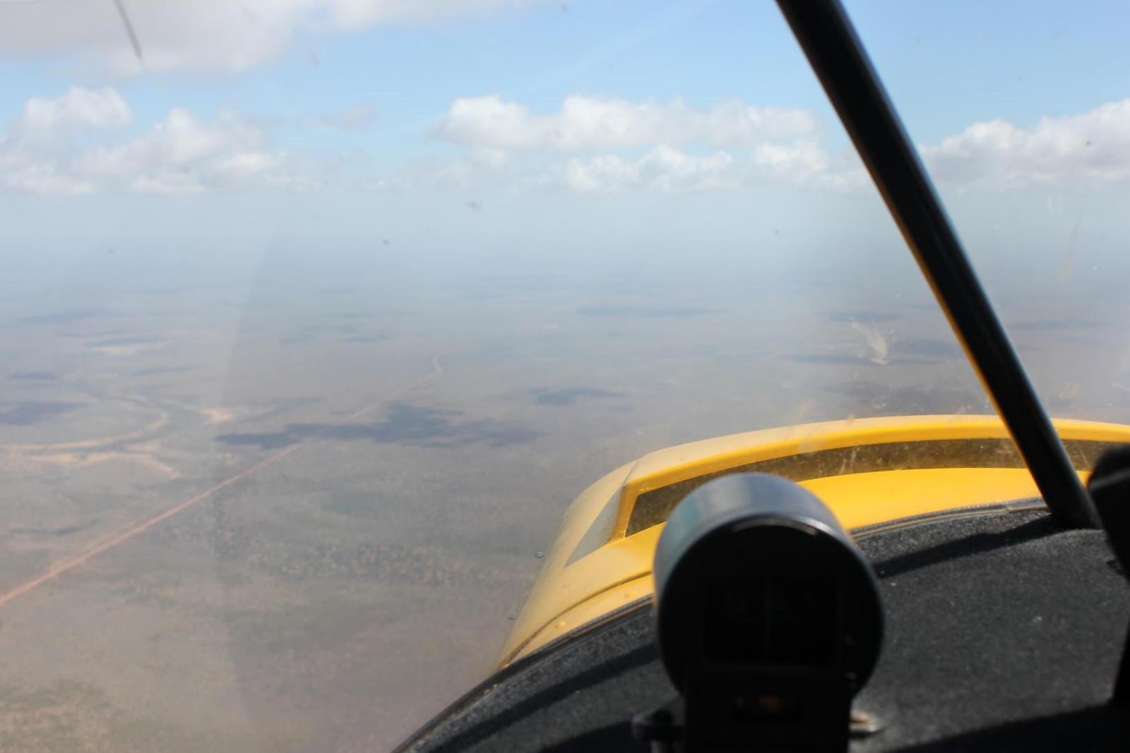
This is heading out into the flat scrubby bushland that covers most of northern Australia.
It goes forever and is so flat that no features break the monotony.
It'd be a bad place to have an engine-out cause there's no clearings to land in.....

Along the Gulf of Carpentaria there are extensive mud flats

With artistic drainage patterns.

And crocodiles for certain in a tidal creek like this....

The little town of Burketown, near the gulf.
In desolate surroundings a long way from anywhere else,
but great barramundi fishing nearby....
but great barramundi fishing nearby....
There was a lot of smoke haze that spoiled the scenery....

And this is the cause, intentional burning off in the Aboriginal lands.

Bauxite loading facility at Nhulumbuy, near Gove.

One of the many small Aboriginal settlements with it's own airstrip.

There are dozens of these airstrips across the Aboriginal reserve of Arnhem Land.
A permit is required to land on any of them.
Must make the application to the Northern Lands Council,
and they then must get approval from the elders at each site.
I applied to land and camp at two strips, promising to not intrude on the residents.
But didn't even get a reply......
At Gove airfield there are about 20 charter aircraft working to serve these strips.
When I was at Gove they were coming and going every few minutes,
like a taxi rank in a big city....

This the airstrip at Smith Point, at the north tip of the Cobourg Peninsula,
right at the top of the 'Top End'.
One of the main objectives of this flight.
right at the top of the 'Top End'.
One of the main objectives of this flight.

Camped on Smith Point airstrip.
Enjoyed hearing the surf at night.

The famous crocodile-shaped hotel at Jabiru.

More really heavy smoke haze.
Makes navigation without GPS really difficult.

The historic airfield at Daly Waters.

Some scrap metal left over from WWll bombers.

Central Mt Stuart.
The explorer Mcdouall Stuart figured this was the center of Australia.
This brings back fond memories of when I flew a little single seat ultralight up here,
powered by a single-ignition 2-stroke engine, and landed in one of those clearings.
powered by a single-ignition 2-stroke engine, and landed in one of those clearings.
I had intended to climb the mountain next morning, but a coming rain storm forced me to exit....

Some of the rock formations in the James Range, west of Alice Springs.
I had wanted to fly around these ranges for a day or two,
but coming wild winds made me head for home early.....

Rainbow Valley.
This also brings back memories.
My daughter Krista and I did a week long camel trip here many years ago.
It was a great adventure, with each to our own camel and not tethered to the camel in front,
so we were free to ride as we pleased.
I loved racing mine, and he enjoyed running hard and fast, especially back to camp.
That was one of the last trips that camel-man Noel Fullerton organized.

Dalhousie Springs, edge of the Simpson Desert.
Salty water flows out of the springs and evaporates to leave the salt.

More artistic patterns, caused by water just trying to get to the lowest point, as water does....

The start of the French Line across the southern Simpson Desert.
It was laid out by a French seismic crew in the 60's.
Now a popular challenge for recreational 4wd'ers,
having to cross about 1100 dunes in the 438km, 270mi crossing.
having to cross about 1100 dunes in the 438km, 270mi crossing.
Sure is easier to fly it....

Desert patterns.

'Big Red', the highest dune in the Simpson.

The solar power collectors at Windorah, Qld.

Camped at Windorah, last morning of the trip.

A coal seam gas field near Miles, Qld.

This is an excerpt from the windyty.com weather site, showing the wind that last day...
Finally a smooth ride at 7500ft with a tailwind 30-40kts.

Then landed back at my home airfield of Kilcoy, Qld.
The windsock shows the wind at the time.
Did a smooth touchdown and stopped in just a few metres.
For more flying adventures go to http://www.stolspeed.com/id/12
For more flying adventures go to http://www.stolspeed.com/id/12
I am addicted to the dramatic images you shoot on your trips John, Thanks Don (Methusala)
ReplyDeleteI have heard of camel racing but never thought it was for real. Now I can say I know a camel racer! Was the camel ride smoother than the airplane ride?
ReplyDeleteYes the camel was smoother. Camels have a long, even gait, much smoother that horses or the aircraft......
DeleteBe honest, I can't imagine such long trip ... maybe more details about fuel, time, equipment could be interesting.
ReplyDeleteSavannah is definitely nice plane, but not real "long trip traveler" due to cruising speed. You know JG, even without leading edge slats cruising speed is quite low. Your adventure is really incredible.
Well, I guess it seems easy to me due to lots of long trip experiences in my life. ie - By 250cc motorcycle from Canada to Panama and return..... I learned early on that the plan is to first start out (the most difficult) and then just keep going until I get somewhere.....
DeleteThere was a much longer flying trip in Australia at http://www.stolspeed.com/11-western-australia-flight. Also more details about fuel equipment, etc in that same website at http://www.stolspeed.com/id/12. 80kts is fast enough for me, cause I'm always curious to watch everything that's passing below, and want the STOL capability to land out somewhere if I see something interesting. I'm seldom impatient to get to the destination......